Image archive Image details
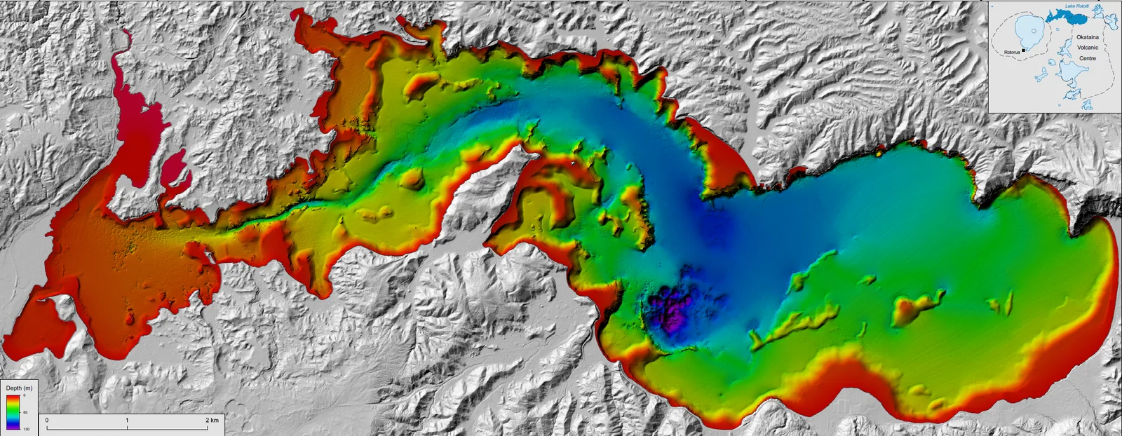
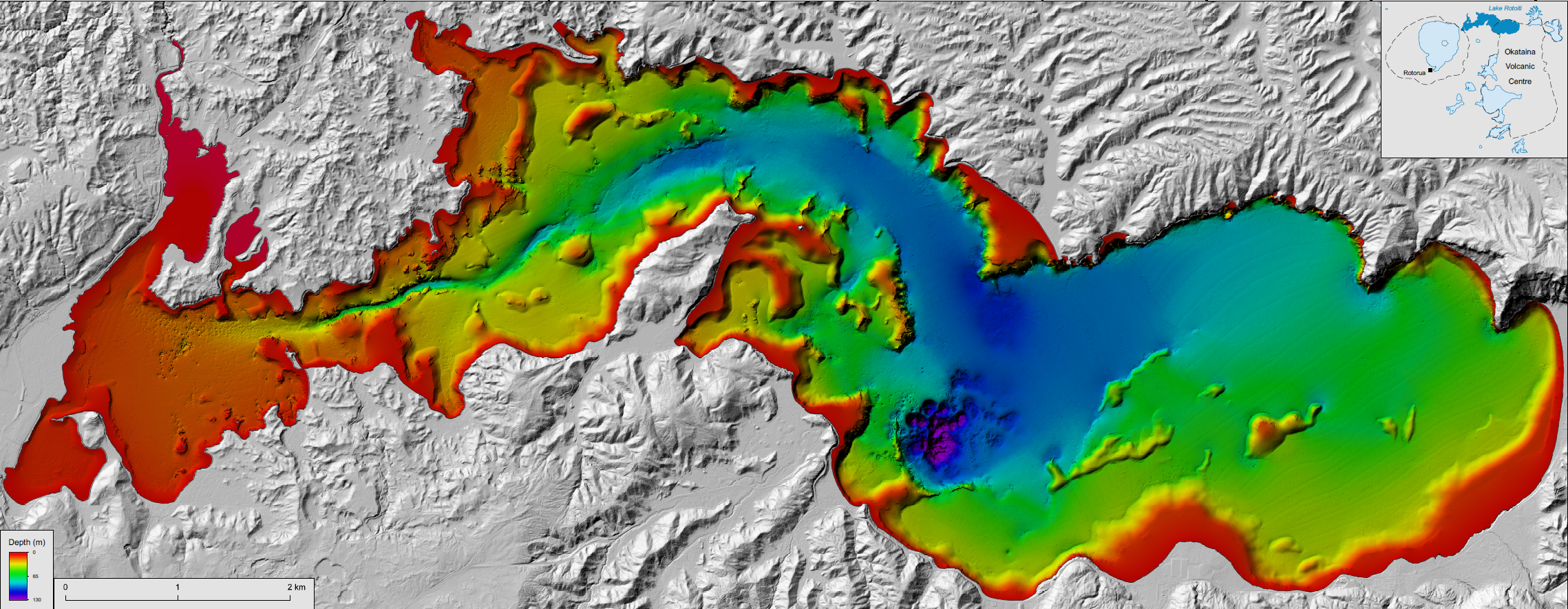
GNS bathymetric survey of Lake Rotoiti, 2021
About this image
Demonstrates geospatial modelling of underwater terrain, with a published source DOI and author credits.
Read the related chapter: Scientific mapping →
Download the original locally stored image
Attribution
Source and reuse
- Published on
- Wikimedia Commons
- Credit
- C. E. J. de Ronde, F. Caratori Tontini and J. Black; GNS Science; DOI 10.21420/8123-EA25
- Image date
- 2021
- Original source filename
- File:Rotoiti Bathymetry.png
- Original dimensions
- 2278 × 885 pixels
- Original SHA-256
538deba06c5449d7ab9129e1f7e511e39fe73d73aa7f6c09578c0163eacbf957- Licence
- CC BY-SA 3.0
- Local copy
- The reader displays a local copy so the image remains available if the original page changes.