Image archive Image details
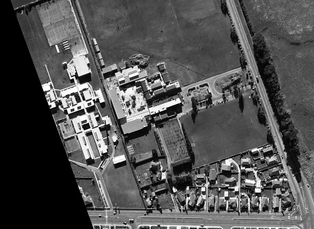
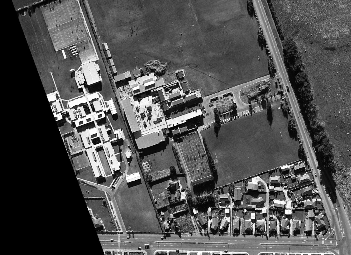
Historical aerial photography of Verdon College, Invercargill, 1988
About this image
An identifiable historical aerial survey frame from the pre-digital era that illustrates photographic material later incorporated into GIS. It was captured in 1988, after the first 1970s remote-sensing experiments.
Read the related chapter: Early remote sensing →
Download the original locally stored image
Attribution
Source and reuse
- Published on
- Wikimedia Commons
- Credit
- Southland Regional Council; sourced from LINZ Data Service
- Image date
- 1988 survey; modern crop
- Original source filename
- File:1988 aerial image of Verdon College site.jpg
- Original dimensions
- 1229 × 895 pixels
- Original SHA-256
1c8e5adb35349b568c4af55edd9f3a3f687a0ceca3dd4c22808dca1f55a5d2f5- Licence
- CC BY 4.0
- Local copy
- The reader displays a local copy so the image remains available if the original page changes.